17 November 2024
View the Lelylijn-routes on the map
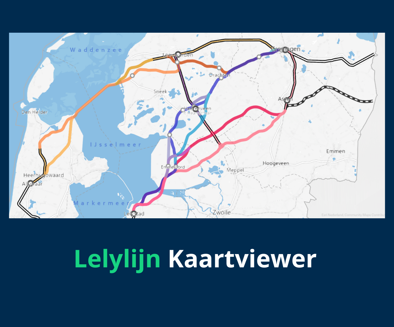
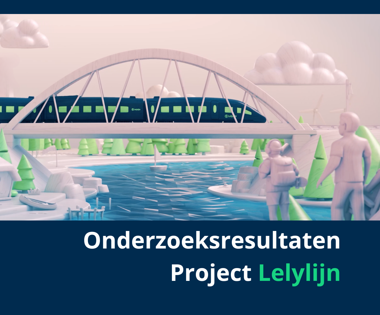
From 2022 through 2024, extensive research was done on the possible routes the Lelylijn could take. Multiple routes were examined so that a good picture emerged of what a Lelylijn could provide, in terms of transport value, contribution to broad prosperity, and how much a Lelylijn would cost.
Therefore, three routes were outlined broadly so that impact research could take place more effectively. This was done in close cooperation between national and regional governments. This resulted in the following three possible routes:
– The Bundling Alternative along the A6/A7/A32;
– The Southern alternative via Emmeloord and Assen;
– and the Afsluitdijk alternative, through North Holland.
Here it is important to point out that these are the first sketches that need to be worked out and researched much better in later phases. Other options or variations can also be worked out at that time.

The routes on these maps are sketches and are not fixed. They just give a better understanding of the studies on Lelylijn and the possibilities. They are impressions from which no rights can be derived. At a detailed level, the Lelylijn cannot be viewed on the map for the simple reason that it is not at all clear yet. The map is intended to give a first good impression of the plans.


